

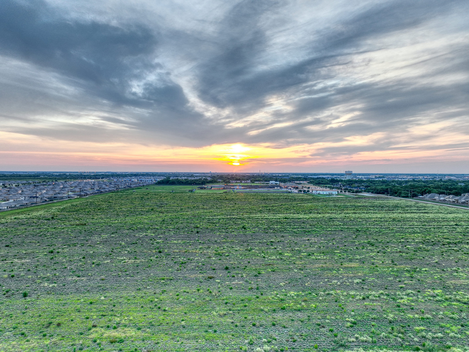
Drone Services in Texas
At DroneView Insights, we elevate your project’s perspective with cutting-edge aerial imaging, data acquisition, and analysis services. Our specialized drone mapping provides invaluable geospatial insights, transforming basic orthomosaics into advanced 3D models for comprehensive site analysis. Our aerial inspection services offer a safe, efficient alternative for assessing rooftops, infrastructure, solar installations, and post-disaster damages. In the dynamic environment of construction, our UAV flyovers, progress tracking, and volumetric analysis ensure your project stays on track and under meticulous supervision. Additionally, our environmental monitoring and disaster response services deliver critical data for effective emergency planning and recovery efforts. Experience the DroneView difference, where innovation meets precision, driving your organization’s success forward. Trust us to deliver reliable and actionable aerial insights for all your commercial and government needs.

Mapping Services
DroneView Insights’ drone mapping services unlock a new dimension of geospatial intelligence for your projects. From basic orthomosaic maps ideal for land and site analysis to advanced 3D orthomosaic creation, our tailored packages cater to varying levels of detail and complexity. Our intermediate and advanced analysis packages offer enhanced orthomosaics, volumetric analysis, and change detection, providing you with a deeper understanding of your project terrain and its dynamics. These insights not only streamline planning and development but also equip you with the data needed for informed decision-making, giving your company a competitive edge in efficiency and precision.
Aerial Inspection Services
Ensure the integrity and safety of your infrastructure with DroneView Insights’ aerial inspection services. Our drones conduct thorough inspections of rooftops, solar installations, and large commercial infrastructures from a safe distance, eliminating the risks associated with traditional inspection methods. Especially beneficial for post-disaster assessments, our remote inspections quickly and accurately evaluate storm damages, facilitating swift insurance processes and repairs. By integrating aerial imaging with GIS data, we provide detailed property surveillance, aiding in the maintenance and security of your assets. These services not only enhance workplace safety but also contribute to cost-effective maintenance and operational continuity.
Disaster Response and Monitoring Services
Enhance your disaster response strategies with DroneView Insights’ specialized disaster response and monitoring services. Our rapid UAV deployment provides crucial aerial data for environmental disaster assessments and ongoing monitoring. Capturing real-time information, we can support organizations like FEMA and local governments in their efforts to manage and mitigate disaster impacts. Our detailed aerial surveys, combined with precise data analysis, enable effective response planning and recovery efforts. With comprehensive visualizations and actionable insights, we help you make informed decisions in critical situations, ensuring timely and efficient disaster management.
Environmental Monitoring
DroneView Insights leverages advanced UAV technology to deliver comprehensive and accurate aerial assessments for environmental monitoring. Our drones provide high-resolution imagery essential for habitat mapping, vegetation health analysis, and general ecological surveillance. We excel in capturing detailed aerial views that aid in detecting changes and potential threats in diverse ecosystems. In the aftermath of natural disasters, DroneView Insights mobilizes swiftly to assess damages, facilitating rapid and effective emergency responses. Our use of drone technology significantly reduces the costs and risks associated with traditional monitoring methods, empowering stakeholders with actionable insights for sustainable natural resource management. Trust DroneView Insights to deliver precise and timely aerial data, supporting informed decision-making and effective environmental management.