Empowering Decisions with Precision Visual Data and Analytical Models
Aerial Inspections
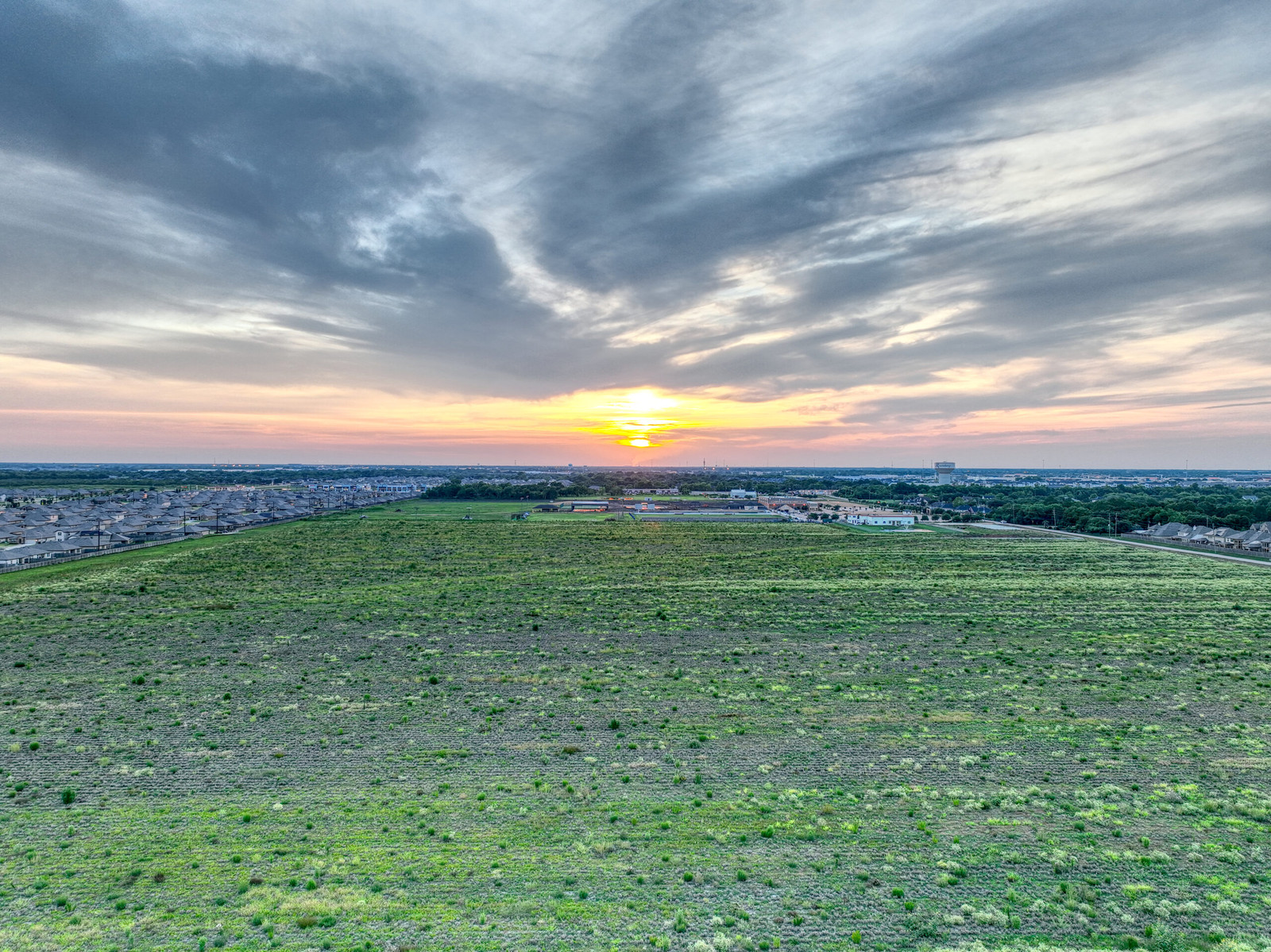
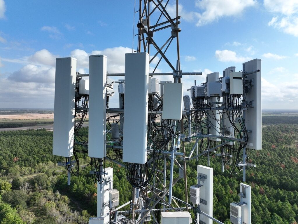
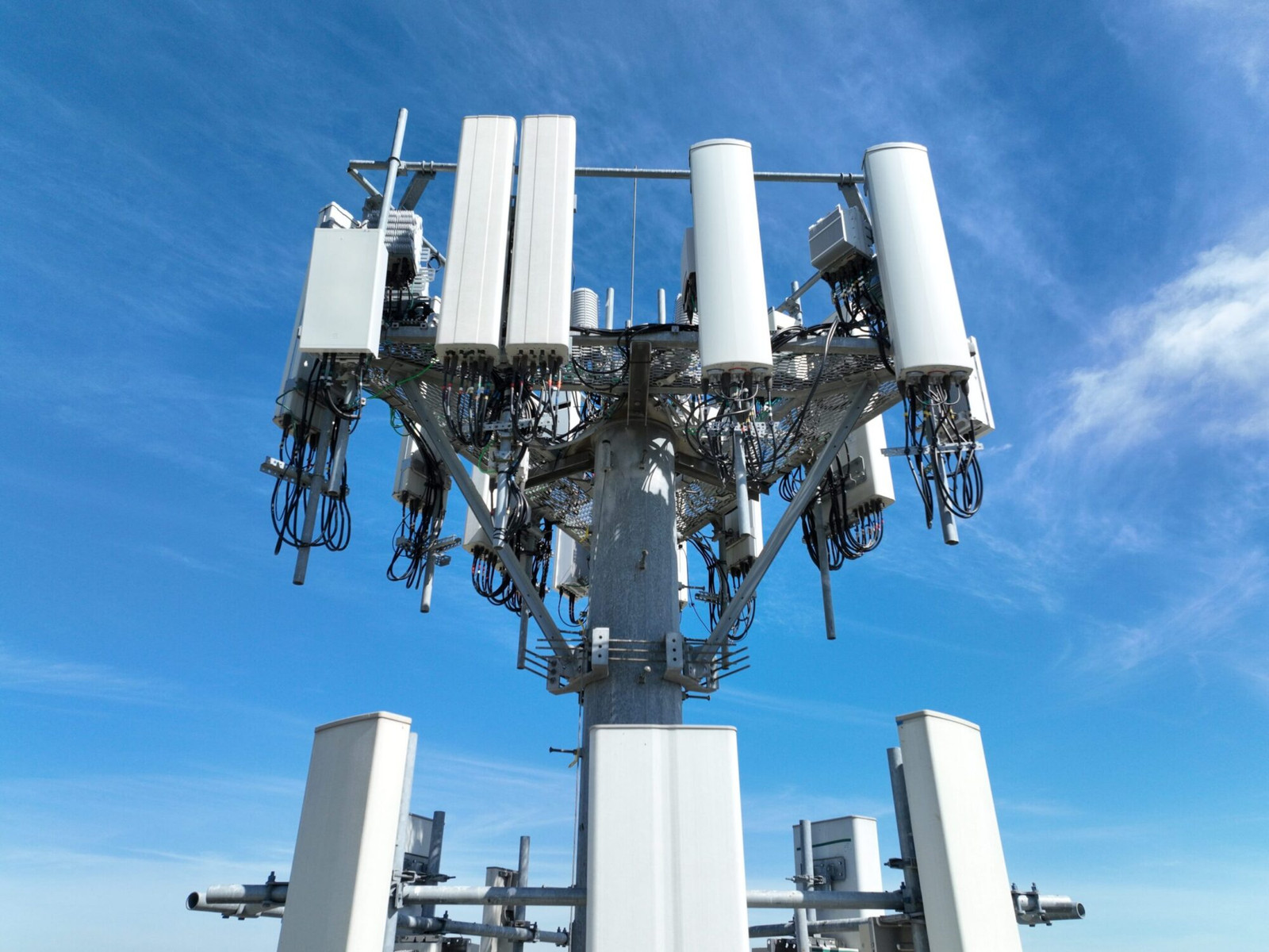
Our specialized infrastructure inspection services cater to the unique challenges of tall structures such as cell towers, powerlines, and water towers, which are often difficult and hazardous for human access. Leveraging advanced drone technology, we provide comprehensive visual data, including high-resolution photos, videos, and detailed 3-D models, enabling precise analysis and monitoring of these critical assets. This wealth of precision visual data not only enhances the safety and efficiency of infrastructure management but also empowers businesses with actionable insights for strategic decision-making. Our services ensure that potential issues are identified early, maintenance is timely, and compliance with regulatory standards is maintained, thereby safeguarding the longevity and reliability of your infrastructure investments.
Get Insights In 3D
3D Models transform complex infrastructure data into accessible, navigable visual representations, offering clients an unparalleled understanding of their projects. These models facilitate a holistic view of structural details, enabling analysis and proactive planning. By visualizing projects in 3D, stakeholders can identify potential issues early, optimize designs, and streamline decision-making processes. This level of insight is invaluable for enhancing efficiency, reducing costs, and mitigating risks, making 3D modeling an essential asset for any forward-thinking company in the infrastructure sector.


