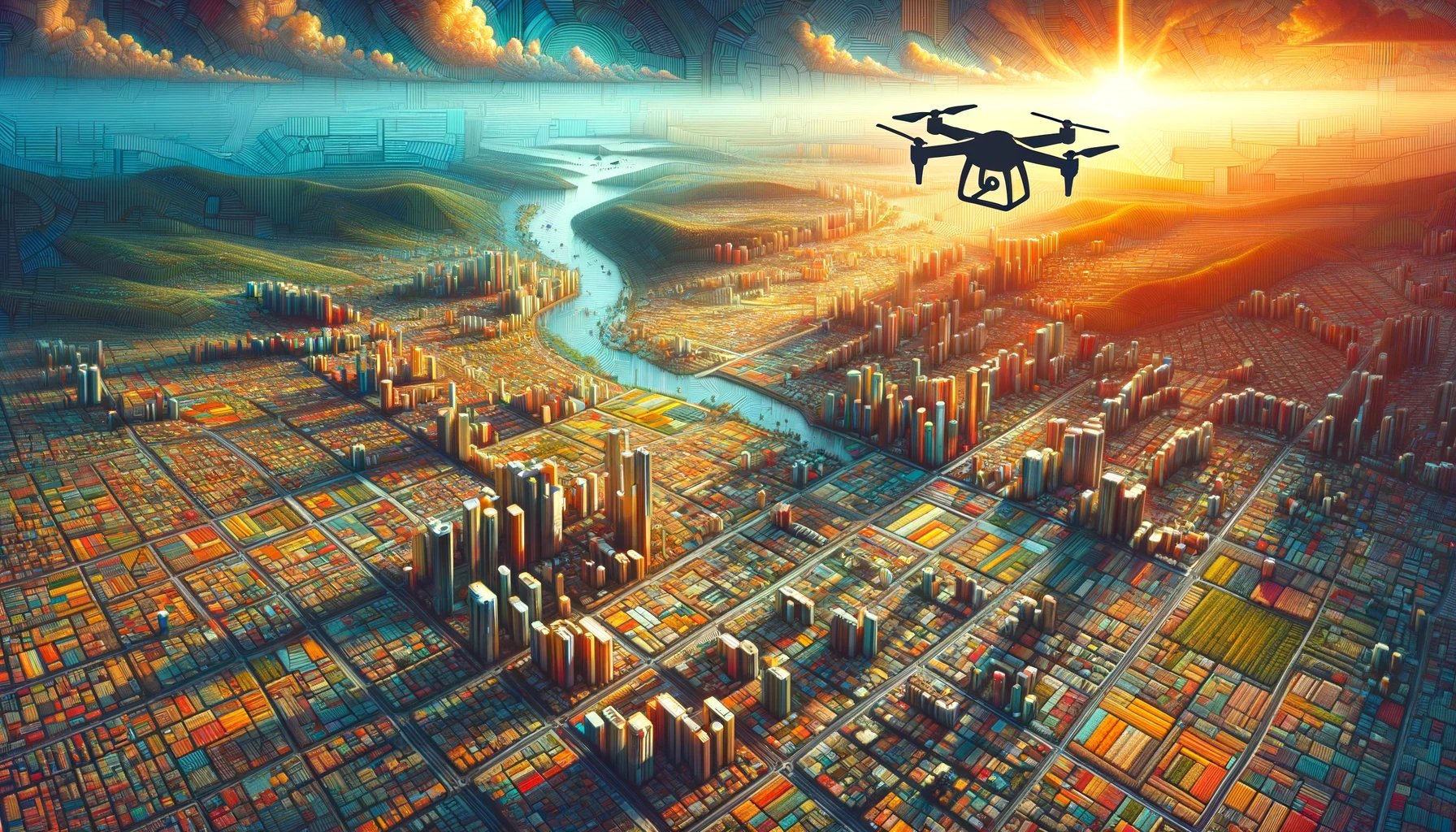
Technology has always been the driving force behind progress, and in recent years, drones have emerged as a game-changer in various industries. Drones, also known as unmanned aerial vehicles (UAVs), are revolutionizing the way we collect data, providing us with faster and more accurate information than ever before. In this blog post, we will explore how drones are changing the way we gather vast amounts of data.
1. Aerial Photography and Videography
One of the most popular uses of drones is in aerial photography and videography. With their ability to fly at different altitudes and capture stunning visuals from unique angles, drones have become an invaluable tool for photographers, filmmakers, and real estate professionals. The high-resolution cameras mounted on drones allow for the capture of detailed images and videos, providing a new perspective that was previously only possible with expensive equipment or helicopters.
2. Infrastructure Inspections
Drones are transforming the way we inspect infrastructure, such as bridges, power lines, and buildings. In the past, these inspections were time-consuming and often required manual labor or expensive equipment. With drones, inspectors can now easily access hard-to-reach areas and capture high-resolution images and videos for analysis. This not only saves time and resources but also minimizes the risks associated with manual inspections.
3. Agricultural Monitoring
Drones are revolutionizing the way we monitor and manage agricultural land. By equipping drones with specialized sensors, farmers can collect data on crop health, soil moisture, and pest infestations. This data can then be analyzed to optimize irrigation, fertilization, and pest control strategies, leading to increased crop yields and reduced environmental impact. Drones provide a cost-effective and efficient solution for large-scale agricultural monitoring.
4. Environmental Surveys
Drones are playing a crucial role in environmental surveys and conservation efforts. They can be used to monitor wildlife populations, assess the health of ecosystems, and track changes in land use. Drones equipped with thermal cameras can even detect heat signatures, helping identify potential wildfires or monitor the health of marine life. With their ability to cover large areas quickly and collect data in real-time, drones are revolutionizing how we study and protect our environment.
5. Disaster Response and Search and Rescue
Drones are proving to be invaluable in disaster response and search and rescue operations. In emergency situations, drones can quickly assess the extent of damage, identify potential hazards, and locate survivors. Equipped with thermal cameras and other sensors, drones can detect heat signatures and provide real-time data to rescue teams. This enables faster and more efficient response efforts, ultimately saving lives.
6. Infrastructure Planning and Construction
Drones are also transforming the way we plan and construct infrastructure projects. By capturing aerial images and creating 3D models, drones provide valuable data for surveying, mapping, and site analysis. This data can be used to identify potential challenges, optimize project timelines, and improve overall efficiency. Drones are helping construction companies save time and resources by streamlining the planning and design phases of projects.
Conclusion
Drones are revolutionizing the way we collect vast amounts of data. From aerial photography and videography to infrastructure inspections, agricultural monitoring, environmental surveys, disaster response, and infrastructure planning, drones are providing faster and more accurate information. With their ability to access hard-to-reach areas and capture high-resolution images and videos, drones are changing the way we work across various industries. As technology continues to advance, we can expect drones to play an even more significant role in data collection and analysis.