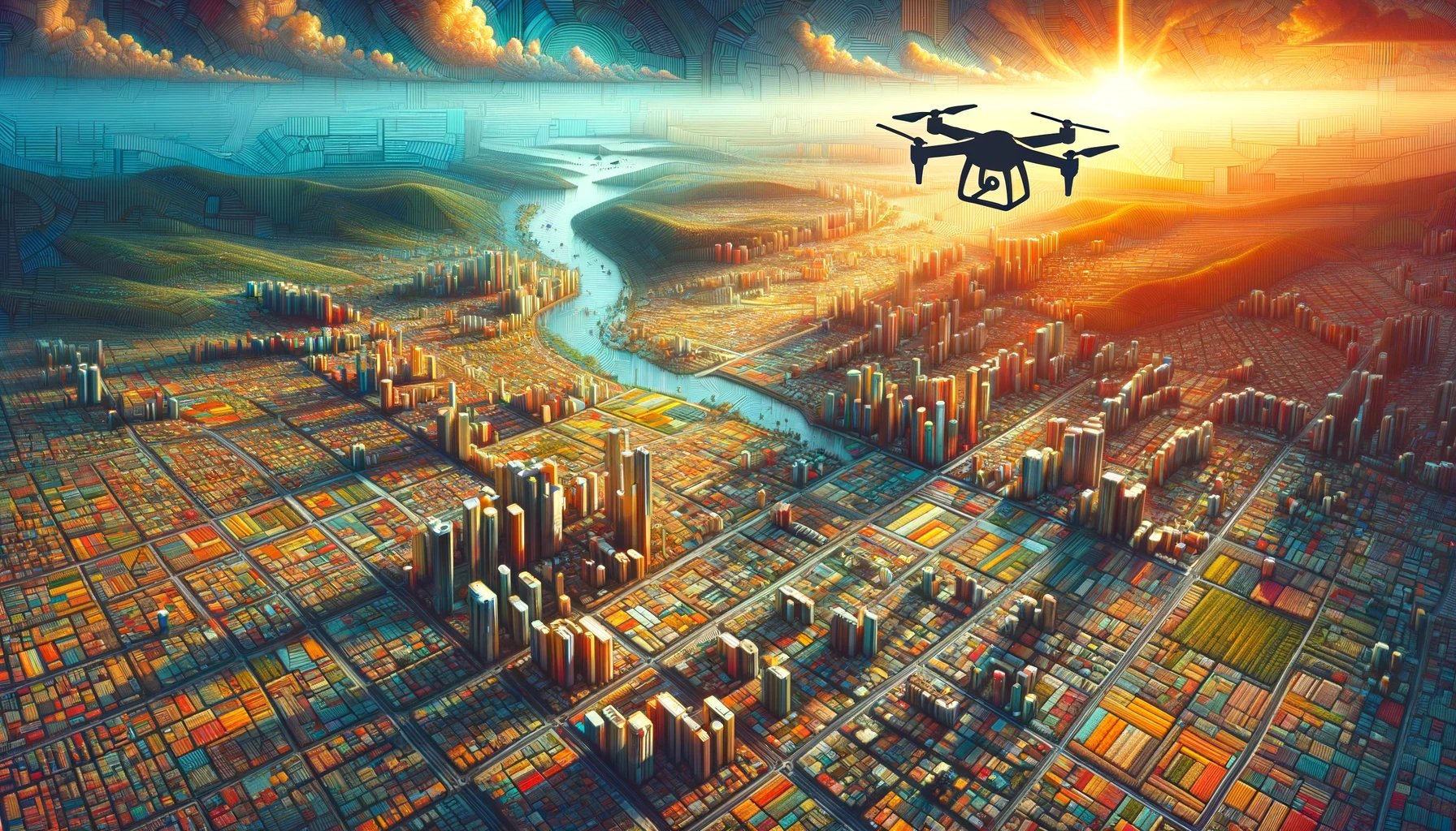
In today’s fast-paced commercial world, staying ahead of the curve means embracing innovative technologies that not only enhance operational efficiency but also offer significant cost savings. Enter the realm of orthomosaic mapping, a revolutionary tool that’s changing the game for industries far and wide. But what’s the magic behind this technology, and how can your drone business harness its power to benefit companies across the board? Buckle up as we dive deep into the world of orthomosaics and unveil how they’re the secret ingredient to doing just about anything and everything better in the commercial sphere.
The Lowdown on Orthomosaics
First things first, let’s break down what orthomosaic maps are. Imagine stitching together hundreds, or even thousands, of high-resolution drone photos to create a single, seamless aerial view of an area. But here’s the kicker: these aren’t just any images. They’re corrected for distortions like angles and elevation, giving you a top-down, perfectly scaled representation of the terrain. It’s like having Google Earth on steroids, but tailored specifically for your business needs.
The Drone Advantage
Now, where do drones come into play? Well, they’re the nimble, eye-in-the-sky craftsmen meticulously capturing each snapshot that forms the orthomosaic masterpiece. With advanced flight capabilities and high-resolution cameras, drones can cover large expanses or zoom in on critical details, all without breaking a sweat. And the best part? They do this efficiently and cost-effectively, sidestepping the hefty expenses tied to traditional aerial photography or manned surveys.
A Spectrum of Possibilities
So, how can orthomosaic maps serve commercial companies? Let’s count the ways:
1. Precision Agriculture
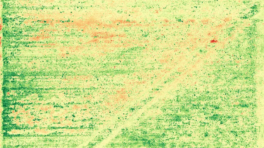
Farmers can wave goodbye to guesswork. With orthomosaics, they gain a bird’s-eye view of their crops, making it a breeze to spot variations in plant health, monitor irrigation, and manage resources. The result? Maximized yields and minimized waste.
2. Construction and Real Estate
From tracking construction progress to showcasing property layouts, orthomosaics provide a clear, comprehensive picture. They help in planning, monitoring, and communicating, ensuring projects stay on track and stakeholders are in the loop.
3. Urban Planning and Infrastructure
City planners and engineers can leverage these detailed maps for everything from designing road networks to managing utilities. It’s about making informed decisions that lead to sustainable, efficient urban growth.
4. Environmental Monitoring
Need to keep an eye on a fragile ecosystem or track changes in a landscape over time? Orthomosaics make it possible, offering a non-intrusive way to monitor and mitigate environmental impacts.
The Cost-Saving Angle
Now, let’s talk numbers. By employing drone technology for orthomosaic mapping, companies can significantly reduce surveying and mapping expenses. Traditional methods are not only time-consuming but also labor-intensive, requiring boots on the ground and costly equipment. Drones, on the other hand, can cover vast areas in a fraction of the time, slashing manpower requirements and operational costs. It’s a win-win: superior data quality paired with budget-friendly processes.
Your Drone Business: The Catalyst for Change
Here’s where your drone business shines. By offering orthomosaic mapping services, you become a pivotal partner for companies looking to harness the power of detailed aerial imagery. Without the need for LiDAR, your drones can capture the essence of any landscape, delivering insights that drive efficiency, enhance planning, and foster innovation.
In Conclusion: The Sky’s the Limit
Orthomosaic mapping is more than just a fancy term; it’s a transformative tool that propels businesses into a new era of efficiency and insight. And with your drone business at the helm, the possibilities are as boundless as the skies. Whether it’s optimizing a farm, guiding a construction project, planning a city, or safeguarding the environment, orthomosaic maps are the key to unlocking potential and paving the way for success.
So, why wait? Embrace the future, one drone flight at a time, and watch as your business – and those you serve – soar to new heights.


