Welcome to DroneView Insights, your premier solution for aerial photography, videography, and data capture in the Houston and surrounding areas. As the sole owner and FAA-certified Part 107 pilot of this business, I bring years of dedicated service and expertise to your project. Specializing in private and commercial real estate, infrastructure inspections, agriculture, and environmental monitoring, DroneView Insights leverages the latest DJI drones with high-resolution cameras to deliver unparalleled aerial views and data.
I understand that each client has unique needs. That’s why flexibility and personalized service is the core of my business. Building strong, lasting relationships with clients is not just a priority; it’s my number one goal. Whether you’re in real estate, construction, agriculture, film production, or environmental monitoring, I can provide services that are tailored to meet your specific requirements, ensuring you receive the most effective and efficient solutions.
Specialized Services
Range of services include:
- Aerial Photography and Videography: Capturing stunning aerial footage for real estate and commercial projects.
- Infrastructure Inspections: Conducting thorough aerial surveys of cell towers, antennas, buildings, power line distribution, and roofs.
- Mapping and Data Capture: Providing valuable insights for insurance companies, parks, wildlife management, and agriculture.
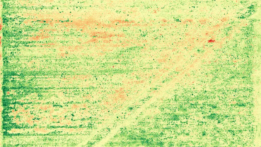
- Agricultural Support: Assisting farmers with crop management through detailed aerial mapping and photography.
Utilizing the latest drones from DJI, you will receive high-quality imagery and data captures. As a certified Part 107 pilot, safety and compliance with FAA regulations are guaranteed. I can also provide the necessary insurance coverage for each job, ensuring peace of mind and reliability.
DroneView Insights offer comprehensive client engagement, including consultations, custom project planning, and robust after-service support. I will continue to work with you until you are satisfied with the project deliverables we agreed on. My aim is to not only meet but exceed your expectations, providing you with valuable data and imagery that can enhance your decision-making process and operational efficiency.
DroneView Insights is not just a service provider; it can be your aerial imaging partner. While we currently don’t offer LiDAR or thermal imaging and aren’t a licensed surveyor, I would like to know what services you need done so I can better tailor my equipment to better suite my clients. I can help provide the insights you need to succeed in today’s competitive environment. Contact DroneView Insights today to discover how drone services can elevate your project to new heights.


